


Aaron Munoz/Unsplash
Nation & World
Predicting homicides in disadvantaged neighborhoods
Study finds link between violence, traffic between low-income areas
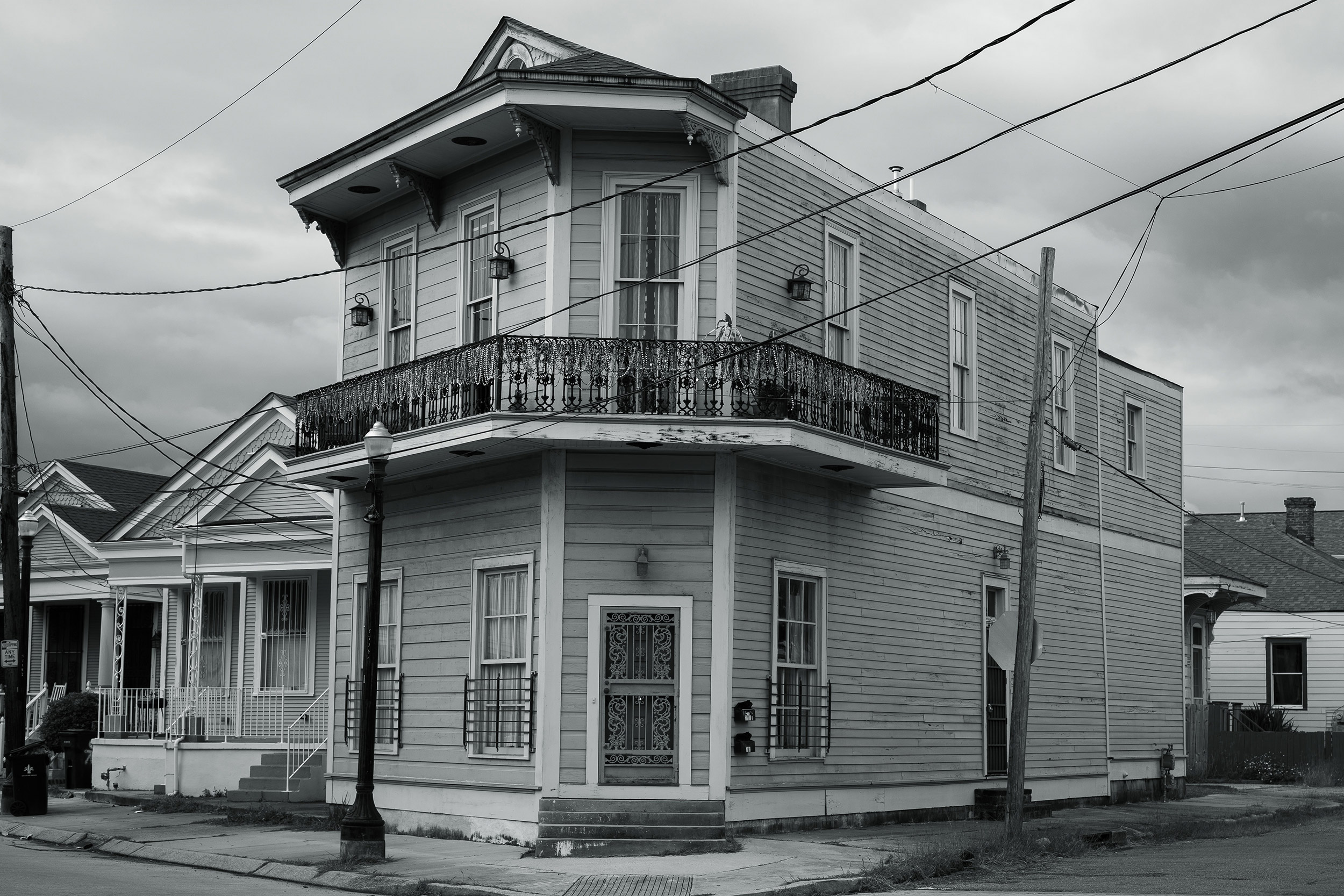
Criminologists have long studied links between socioeconomic conditions and crime rates. The work has led to the long-held belief that a neighborhood’s well-being is directly related to its levels of poverty, inequality, education, and racial isolation. But since no neighborhood is an island unto itself, many sociologists argue that’s far from the full picture.
A new study led by Harvard sociologist Robert J. Sampson builds on that by developing a new concept exploring how cross-neighborhood, urban mobility mixed with an area’s socioeconomic conditions can offer fresh insights into a neighborhood’s well-being — meaning its safety, security, and health.
The analysis, published in the American Sociological Review, looked at the everyday movement patterns of almost 400,000 people — traveling to work, shopping, or visiting friends — to examine how the regular routines of people from similarly disadvantaged areas can impact rates of violent crime, such as homicides, in neighborhoods.
The findings show that a neighborhood’s welfare depends not only on its own socioeconomic conditions but also on those of places its residents visit and those of individuals who come to visit it, underscoring the belief that even distant neighborhoods are inherently connected and should be studied as such.
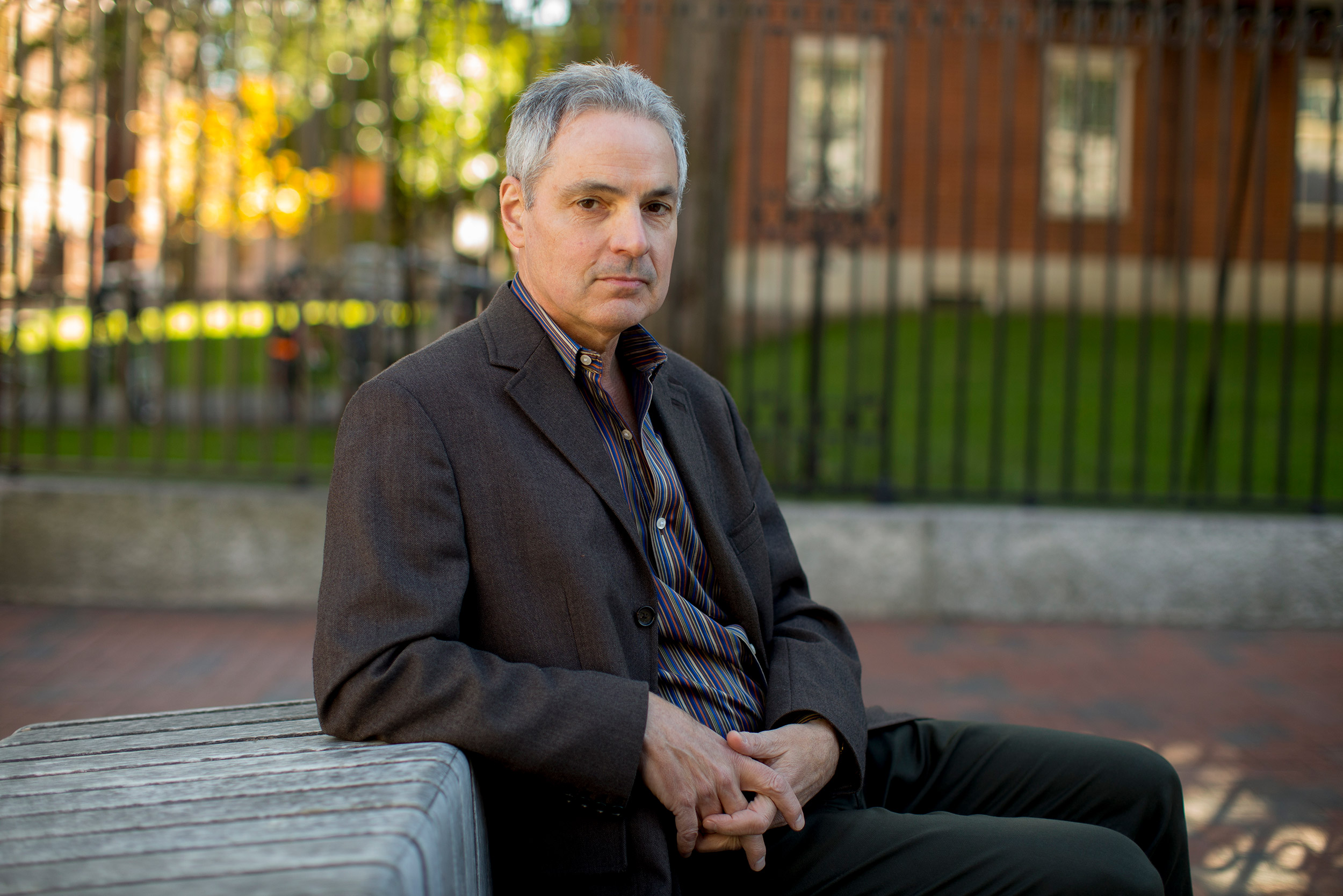
“People don’t just live in their neighborhoods,” said Sampson, the Henry Ford II Professor of the Social Sciences and senior author of the paper. “We’re trying to get researchers but also policymakers to think beyond just the characteristics of one neighborhood in isolation, which has driven a lot of research, including my own.”
Central to the paper is a concept the researchers put forward of neighborhoods that are at a “triple disadvantage.”
Currently neighborhoods are considered to be socioeconomically disadvantaged if they score high on one of three traits: concentrated poverty, unemployment, and residents receiving public assistance.
Study researchers gathered data on what they call mobility-based disadvantage using geo-coded flows of movement from hundreds of millions of tweets by nearly 400,000 Twitter users. The idea is that if a neighborhood is poor and its residents either visit mostly poor neighborhoods or disproportionately receive visits from other poor neighborhoods, that neighborhood is doubly disadvantaged. If both are true then researchers view that area as triply disadvantaged.
To come up with a neighborhood’s total disadvantage score, they calculated weighted averages of a residential disadvantage (the traditional method for measuring disadvantage) with its mobility-based disadvantage.
The researchers believe the potential implications of triple disadvantage are broad and could potentially affect a wide range of issues, including community capacity, gentrification, disease transmission rates, and racial inequality. For the study, however, they looked mainly at how it related to homicide rates.
Robert Sampson is the Henry Ford II Professor of the Social Sciences and senior author of the paper exploring the link between violence, traffic between low-income areas.
Rose Lincoln/Harvard Staff Photographer
Analyzing nearly 32,000 neighborhoods and 9,700 homicides in 37 of the largest U.S. cities, the authors show that triple-disadvantage metrics can independently predict homicide counts after adjusting for known links of violence, such as density, race, age, and residential stability. The forecasts proved almost a third better than a model that only included the traditional residential disadvantage scores and controls.
Maps of triple disadvantage are available for all cities.
The researchers say there may be no causal connection between triple neighborhood disadvantage and homicides and examine the ways the measure may just be capturing various known contributors to urban violence, including drug activity, gun crime, population loss, and increased interpersonal friction or contact. For instance, previous research has shown that adolescents from disadvantaged neighborhoods are more likely to engage in violent behavior. Triple-disadvantage measures could account for the likelihood of an increase in contentious interactions among nonresidents or strangers of similar disadvantaged backgrounds.
“Our list of possible mechanisms is not exhaustive, but it provides a set of theoretically distinct processes by which mobility-based disadvantage can plausibly be associated with increased violent crime,” the researchers wrote in the study.
More like this


Sampson’s team also hypothesize that triple disadvantage plays an important role in amplifying a neighborhood’s lack of resources for successful crime control because the mobile aspect makes it harder to maintain social control, develop collective efficacy, and access crime-reducing resources.
“What we’re arguing is that triple disadvantage essentially exacerbates racial segregation [and other related factors],” Sampson said. “[It’s] the compounding of inequality by not just living in poor neighborhoods, but having disproportionate contact with other poor neighborhoods.”
Working on the paper with Sampson was Brian L. Levy, an assistant professor at George Mason University, and Nolan E. Phillips, a data scientist at Accenture, a global professional services company. Both were formerly postdoctoral fellows at Harvard.
The authors also theorize that what can make a neighborhood triply disadvantaged swings the opposite way, too. When residents of advantaged neighborhoods visit and are visited disproportionately by those from other advantaged neighborhoods, they become triply advantaged, isolating and segregating affluent neighborhoods.
The researchers say their work represents only the beginning of the establishment of a broader social context for studying inequality and builds on earlier work on segregation. They hope to expand their theory and have others use their methodologies, data, and new geographic data sources to run their own assessments, such as using the increasing availability of cellphone data to track cross-neighborhood travel patterns.
“There’s a sense in which we hope that these ideas can be used by other researchers to create measures for studies around the world,” Sampson said. “Furthermore, we can imagine that researchers and even policymakers could create metrics for other kinds of indicators beyond what we started. … [The theory] has very expansive possibilities in our view.”
This work was supported by the National Science Foundation.