WikiCommons
Fighting fire with fire
Controlled burns in key areas of U.S. West could drastically reduce smoke exposure, study finds
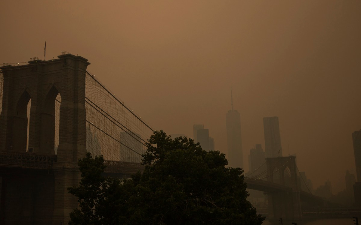
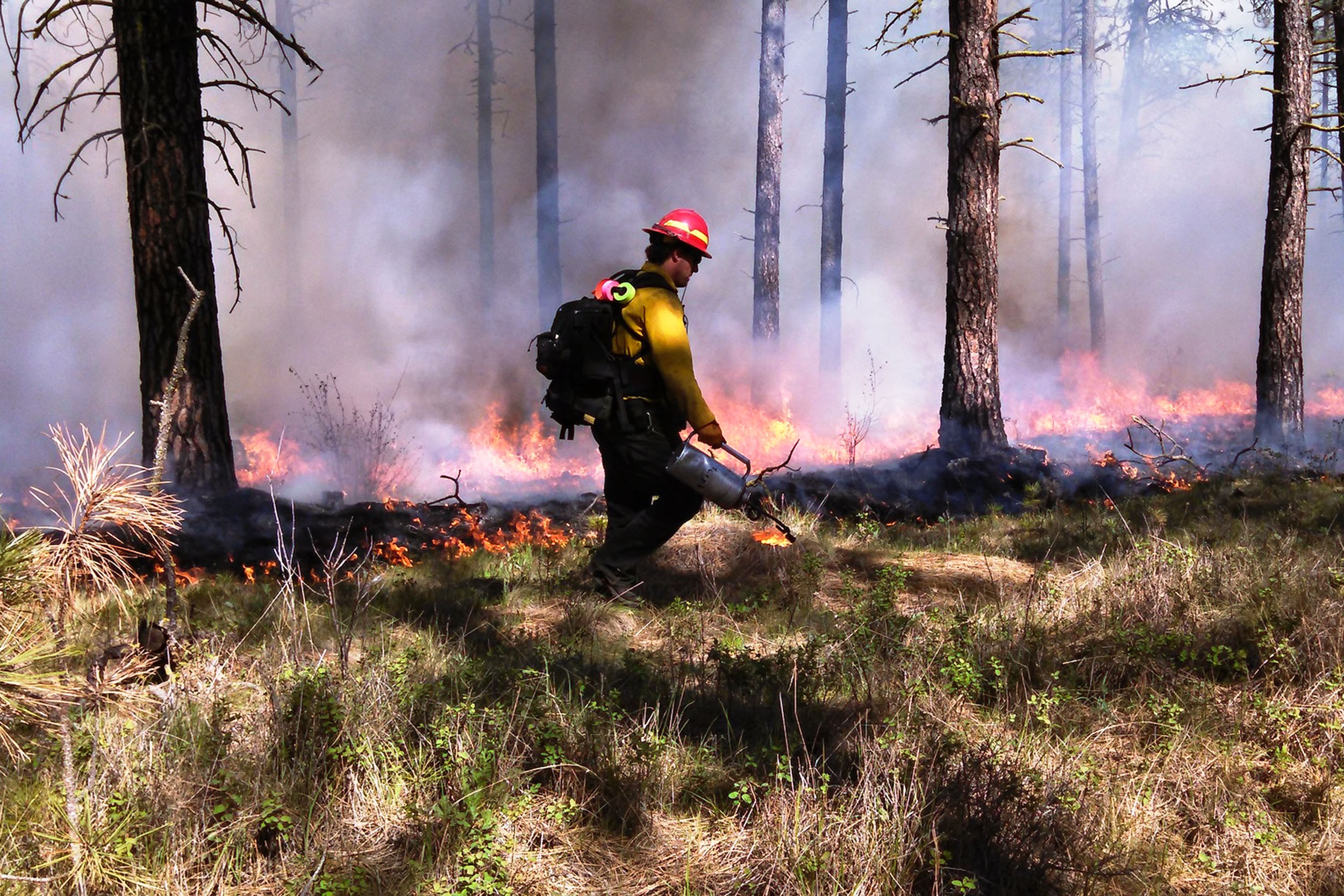
Wildfire smoke is a threat to air quality, public health, and ecosystems throughout the U.S. Notwithstanding the impact of this year’s Canadian wildfires, the West typically sees much higher exposure to wildfire smoke than other regions of the country. New research from Harvard University, the U.S. Forest Service, and National Oceanic and Atmospheric Administration indicates that controlled burns — particularly in coastal areas of northern California and the Pacific Northwest — could dramatically reduce the overall amount of wildfire smoke exposure in vulnerable rural communities and dense population centers across the West. The findings are published online in Earth’s Future.
“Since the early 1900s, a legacy of fire suppression in the West in combination with a warming climate have contributed to severe wildfires. Until now, there hasn’t been much research into how land management methods might influence smoke exposure,” says Makoto Kelp, the paper’s lead author, who earned his Ph.D. from Harvard as a member of the Atmospheric Chemistry Modeling Group.
“Smoke consists of a mix of gases and tiny particles. The particles are bad to breathe because they can get deep into your lungs and trigger a slew of acute and chronic diseases,” says modeling group co-leader Loretta Mickley, senior author of the paper and a Senior Research Fellow at the Harvard John A. Paulson School of Engineering and Applied Sciences. “Drier and warmer conditions, together with accumulated underbrush, have made the West more vulnerable to large, severe wildfires. Implementing smaller, prescribed fires could make it more difficult for out-of-control wildfires to spread. These controlled fires still emit smoke, but the net benefit is less smoke pollution overall.”
Analyzing wildfire data from 2018 and 2020 and using a computer model to simulate how prescribed fires would behave, the team found that controlled burns in key zones in northern California, western Oregon, and eastern Washington could have an outsized effect on reducing wildfire smoke exposure throughout the entire western U.S. This is due in part to prevailing winds carrying smoke across the continent and to the abundant, dense vegetation that fuels smokey fires.
“Our modeling reveals that controlled burns should be targeted to dense vegetation areas, especially west of the Sierras and the Cascades, upwind of populated areas.”
Makoto Kelp, study’s lead author
Satellite observations and government records reveal that only a handful of such prescribed fires were set for land management purposes in the West between 2015 and 2020. Using fire to clear agricultural lands and manage habitats is a more common practice in the East and Southeast U.S. While Indigenous communities in the West have historically set controlled fires, land managers over the last century have tried to quickly suppress wildland fires for fear of their destructive spread, thus contributing to a “fire deficit.”
With more research indicating the benefits of prescribed fires, however, that practice may be poised to change. In August 2022, the Biden Administration designated nearly $2 billion in the Inflation Reduction Act to reduce hazardous wildfire fuels through prescribed burns and land management measures.
“Our modeling reveals that controlled burns should be targeted to dense vegetation areas, especially west of the Sierras and the Cascades, upwind of populated areas,” Kelp says.
The team’s computer modeling integrates environmental, meteorological, chemical, and physical parameters to predict how wildfire smoke spreads and impacts communities. “With all these levels of data baked into the model, we’ve improved our understanding of how and where to reduce wildfire smoke exposure,” Kelp says. “Although prescribed fires come with their own risks, we know that prescribed fires can be better controlled over smaller pieces of land, achieving more efficient combustion that generates less pollution over the course of a few hours or days. In contrast, wildfires are unpredictable and can rapidly spread across vast areas, blanketing populated regions with harmful smoke.”
“Anyone who has spent time in wildfire-prone areas can attest that smoke from wildfires can travel great distances and have significant impact on air quality,” says Matthew Carroll, a program specialist at the USDA Forest Service Rocky Mountain Research Station. Carroll co-authored the paper and discussed the teams’ findings. “What was surprising was our ability to use highly predictive models of physical phenomena to understand impacts to social landscapes. Fire managers can use this research about how smoke from wildfires and prescribed fires can affect communities and population centers differently to help prioritize where and when to conduct fuel treatments to be more effective and equitable.”
Prior research indicates wildfire smoke can have a disproportionate impact on communities predominantly inhabited by people of color or a high proportion of people living below the poverty line. While monitoring of wildfire smoke and its public health impacts has increased in urban population centers, researchers say the smoke effects on these rural communities have likely been overlooked.
For their study, the team looked at smoke exposure across three major environmental justice communities in the West: agricultural communities in California’s Central Valley and central/eastern Washington and Navajo Nation in the Southwest. They found that prescribed burns in key areas of northern California and the Pacific Northwest would reduce the transport of smoke to these vulnerable regions.
“Confronting the wildfire crisis is enormously complex. My hope is that this research helps the public understand all the physical and social factors that we consider when planning and implementing prescribed burns to deal with the myriad of complexities that exist in tackling wildfire and smoke,” Carroll says. “The power of this research is in bringing together multiple disciplines of science to conduct modeling that looks at data in new ways, analyzing physical phenomena like smoke across a social landscape of cities and communities and using that information to help support real-world decisions and actions.”
Additional authors include Tianjia Liu from the University of California Irvine, Robert Yantosca from Harvard SEAS, and Heath Hockenberry from NOAA.
Funding for the research was provided by NOAA.
