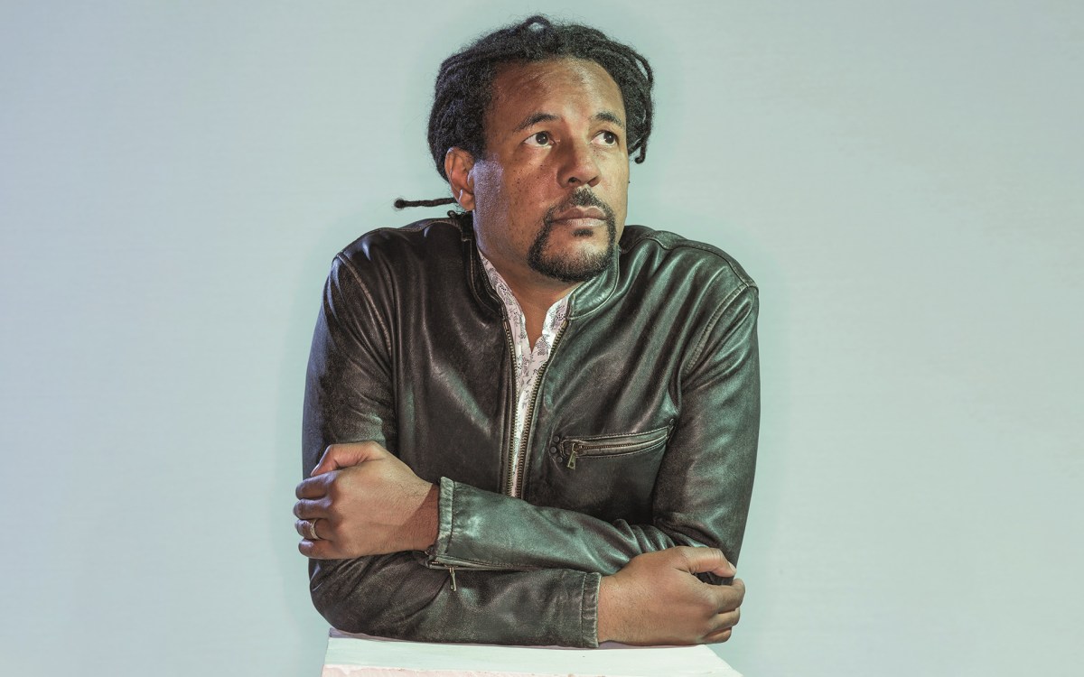
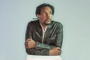
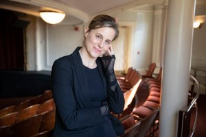
Associate Professor of History Rachel St. John St. John grew up in Southern California, and as a teenager sometimes trekked to Tijuana. “I remember one day thinking, ‘It’s really interesting how the border is one way on this side, and on the other side it’s totally different,’” said St. John, who has written a book on the history of the U.S.-Mexico border.
Justin Ide/Harvard Staff Photographer
Arts & Culture
The line that defines
Professor’s book unearths colorful history of U.S. border with Mexico
For nearly 2,000 miles, it runs alongside California, Arizona, New Mexico, and Texas. It begins in the east in Brownsville, Texas, and marches west along the Rio Grande, halting at the Pacific, in the town of Tijuana, notorious for its drug violence and reputation as a party spot for frat boys.
Whatever the cause, the mythic U.S.-Mexico border draws millions of people to it each year. It’s the most frequently crossed international border in the world, and is one of the most intriguing unseen lines in history.
Just ask Rachel St. John. In her new book, “Line in the Sand: A History of the Western U.S.-Mexico Border,” the Harvard associate professor of history traces the border’s origins to its modern-day consequences.
The eastern U.S.-Mexico border was easy to establish: the Rio Grande forms a natural divide. But after the Treaty of Guadalupe Hidalgo ended the Mexican-American War in 1848, diplomats gathered with maps to configure the western border. According to St. John’s research, they drew arbitrary lines, following no existing geographical feature, but connecting a few known spots like El Paso, the Gila and Colorado rivers, and San Diego Bay.
Armed with maps and equipment, a U.S.-Mexico boundary commission next set out into the barren and inhospitable desert with the task of formally surveying and demarcating that part of the border.
“There’s this idea that you can draw a boundary line on paper,” mused St. John, “but that’s much harder to put into effect when you get on the ground.”
Some of the men’s maps proved incorrect, which spurred on-the-spot compromises — just another added stress in addition to contending with everything from heat and rough terrain to getting lost, Apache attacks, and sometimes death.
“The one part of the boundary line that corresponded to a natural geographic feature, the Gila River, was made obsolete by the renegotiation of the border in the Gadsden Treaty of 1953,” wrote St. John. “From that point on, with the exception of a small stretch of the boundary line that runs along the Colorado River, the western border was made up of a series of imaginary lines.” Finalized in 1854, “the boundary line as it exists today was in place,” she said.
But what St. John finds remarkable is the shift in the border’s meaning over time.
“When the border was first drawn, the government thought, ‘No one’s ever going to come out here. This is the middle of the desert — who cares what happens,’” she said. “But there’s a massive change in economics that begins in the U.S. and spreads into Mexico in the late 19th-century. And as you have the development of this capitalist economy, the border takes on different meanings.”
Cattle ranching and mining became big industries, and a railroad was built on the U.S. side. The exchange of goods prompted the U.S. government to send customs agents to the border, and, said St. John, “It’s really the change in the economy that causes the government to care about maintaining the border.”
According to St. John, most people assume today that the border is there to regulate the movement of people, “but the sense from both the U.S. and Mexican governments that they needed to regulate the movement of people is a 20th-century phenomenon.”
The first people who the U.S. government wanted to control weren’t Mexicans, but Chinese immigrants, St. John discovered. “I find it really interesting that during the first decade of the 20th century, you have Chinese immigrants disguising themselves as Mexicans so they can cross the border.”
St. John grew up in Southern California, and as a teenager sometimes trekked to Tijuana herself. “I remember one day thinking, ‘It’s really interesting how the border is one way on this side, and on the other side it’s totally different,’” she recalled.
The border now is political, policed, and unpredictable. “All the attention on the border, in some ways, is not a very effective way of dealing with larger problems of managing immigration and other smuggling. Many people in the U.S. without proper documentation entered legally and overstayed their visas. This emphasis on building a wall doesn’t necessarily match up with the issues people are trying to address,” said St. John.
“But one thing studying the border has taught me is that it hasn’t always meant the same thing, and so it’s very possible that in the future it won’t mean the same thing,” she noted. “At no time that I’ve seen does anyone want a totally closed or open border. It’s all about creating a border that’s a force field — it lets in the things you want and lets out the things you don’t.”